
SPC and Fiji Cooperate to Map Forest Cover
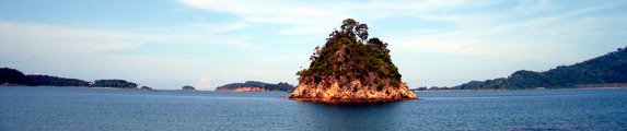
The Secretariat of the Pacific Community (SPC) has announced a collaboration with Fiji's Department of Forestry to increase capacity in the use of high resolution satellite images to map land and forest cover in the country. The programme will focus on classifying forest types in Drawa, a 6,400 hectare area of indigenous forest on Vanua Levu
Climate Policy & Practice | 8 February 2012
![]() According to SPC, the training programme has three phases: enhancing and analyzing satellite images of Drawa forest, classifying forest types and estimating forest carbon stocks for each forest type; establishing monitoring plots; and a biodiversity survey. The information gleaned from the exercise will help in estimating forest carbon stocks and will contribute to REDD+ (reducing emissions from deforestation and forest degradation, and the role of conservation, sustainable management of forests and enhancement of forest carbon stocks in developing countries).
According to SPC, the training programme has three phases: enhancing and analyzing satellite images of Drawa forest, classifying forest types and estimating forest carbon stocks for each forest type; establishing monitoring plots; and a biodiversity survey. The information gleaned from the exercise will help in estimating forest carbon stocks and will contribute to REDD+ (reducing emissions from deforestation and forest degradation, and the role of conservation, sustainable management of forests and enhancement of forest carbon stocks in developing countries).
SPC says the objectives of the collaboration include building the capacity of community groups in forest monitoring and forest carbon assessment, and providing accurate forest carbon data to assist community-based activities related to REDD+ in Drawa. It is anticipated that the activities also will contribute to the establishment of Fiji’s national Measurement, Reporting and Verification (MRV) system, strengthening the country’s REDD+ programme.
The activities are supported by the Japan International Cooperation Agency (JICA), and the German development cooperation agency Deutsche Gesellschaft für Internationale Zusammenarbeit (GIZ).


No comments:
Post a Comment